NOAA
Here are some of the pictures I have recieved from NOAA satellites
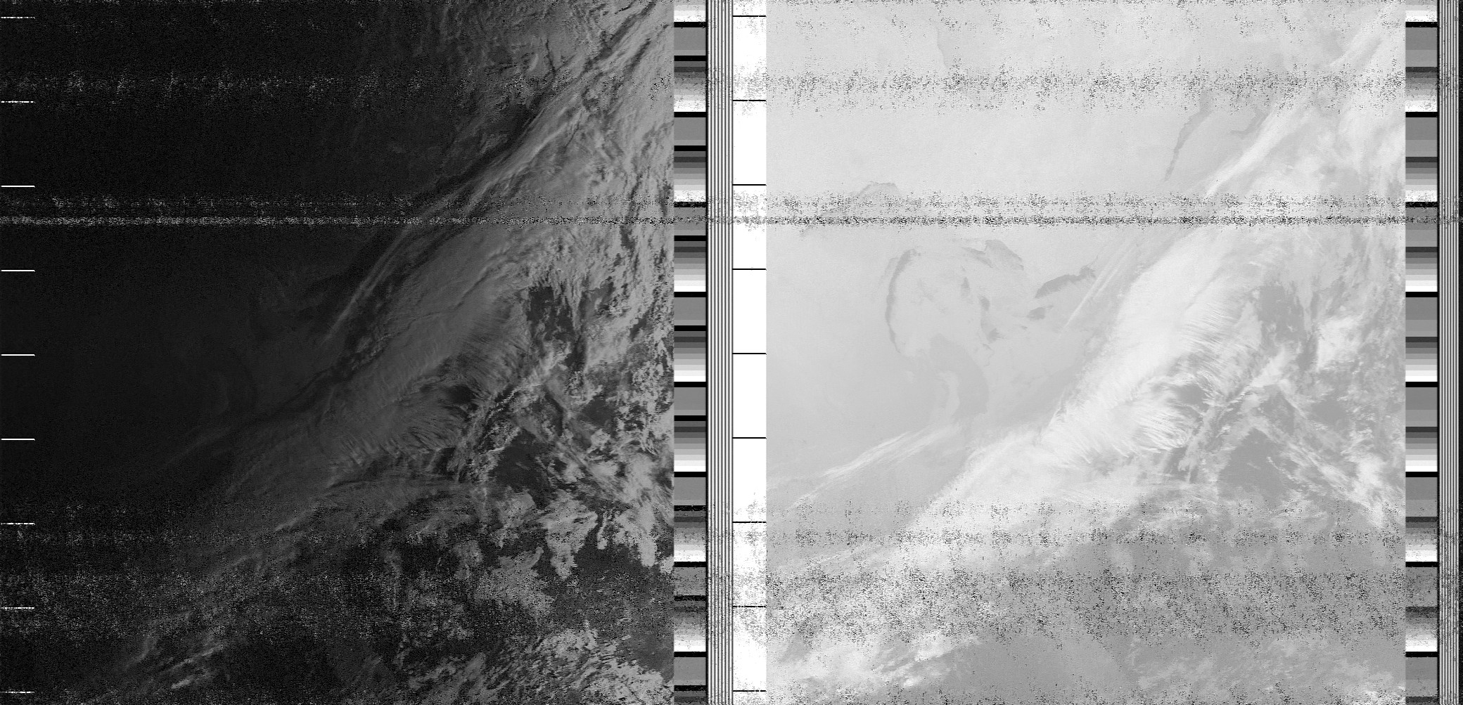
There are two images because the image on the left is visiable light and the image on the right is a wavelength of infrared light
This image was taken around sunrise
I am not entirely sure what causes the wavyness of the static but it is most likely some interference from somewhere nearby
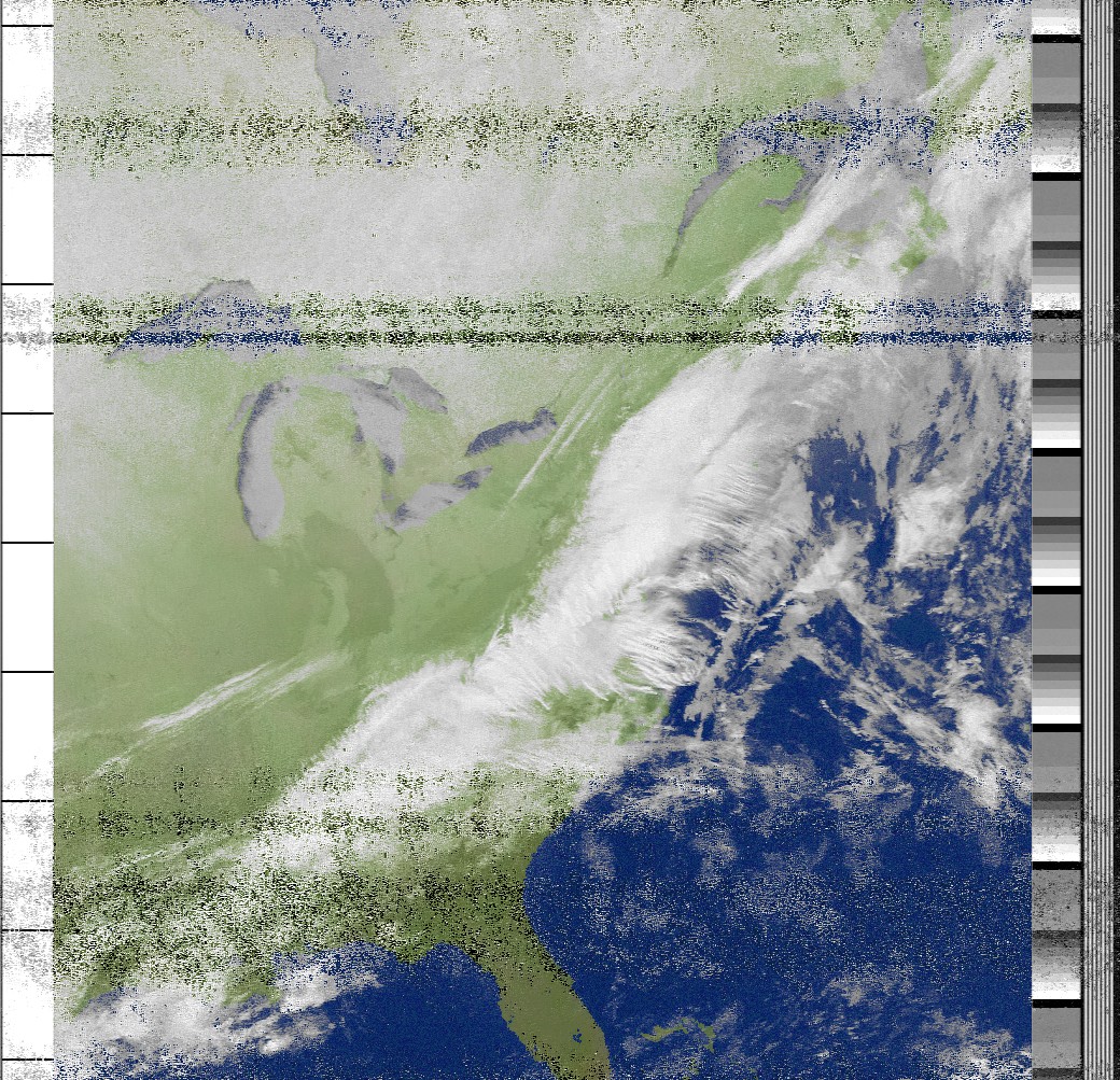
This image is overlaid with fake colour. The base image is black and white and the software adds the colour
In this image, you can tell what everythign is more easily, and the clouds are clearer

This image is overlaid with fake colour as well, but has precipitation marked with green and red
The static also sometimes appears as precipitation but most of it it actual precipitation

This image shows the tempurature of the ocean, as well as some smaller lakes
Near the bottom, some of the tempurature is corrupted by static but for the most part, this image is accurate to when it was taken
The spots where there is no tempurature of the water is caused by cloud cover blocking the view of the water

This image shows the tempurature of the land and the clouds, as well as some of the water
The colder the colour, the colder the land
The dark blue is the clouds since they are colder than the land, and they cover than land from view